Streetform: design street cross-sections in 3D
Streetform is a street design tool that runs in your browser. Lay out a street from property line to property line (sidewalks, bike lanes, parking, travel lanes, transit, medians and trees) and see it as a 3D model and a clean, illustrated cross-section.
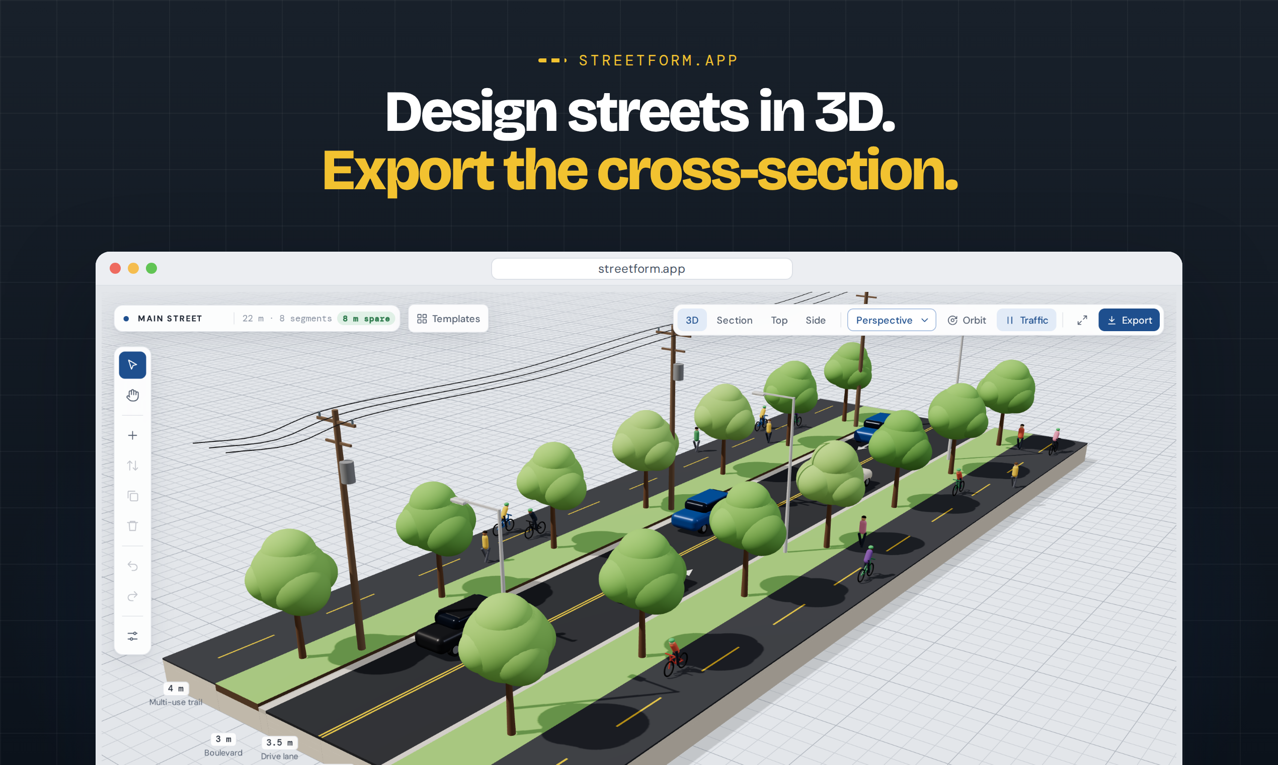
Build a street segment by segment
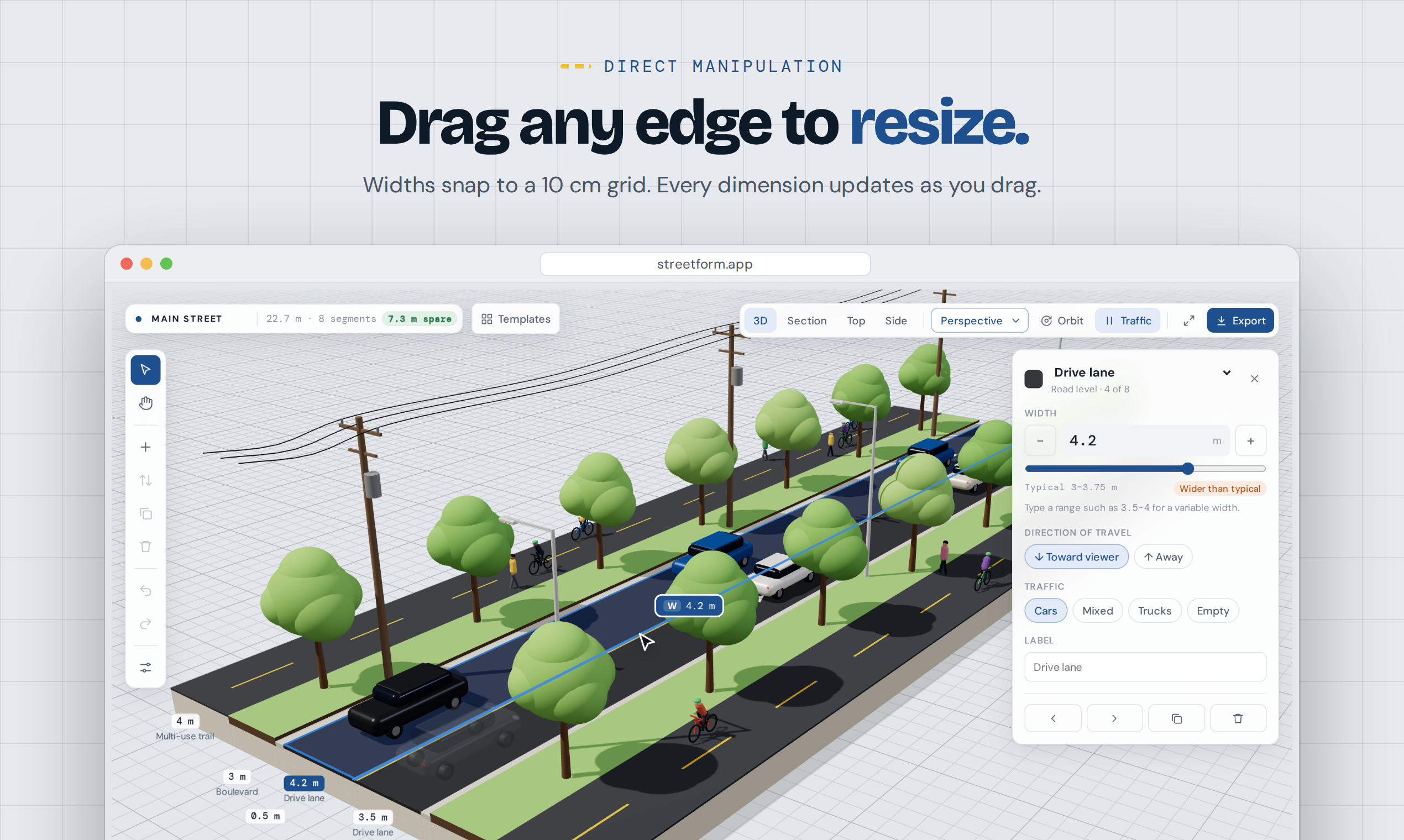
Add segments for sidewalks, furnishing zones, multi-use trails, bike lanes, cycle tracks and buffers, drive, turn and parking lanes, shoulders, curbs, bus lanes, light rail, boulevards, medians and bioswales. Drag a segment's edge to resize it, drag segments to reorder them, and type exact widths, including variable widths like 3.5–4 m. Set a right-of-way target and Streetform tells you whether the design fits. Metric and imperial units are both supported.
Lane markings to real standards
Line colours, dash patterns, driving side, bus lane legends, turn lanes and parking marks follow the standard you choose: MUTCD (United States), TAC MUTCDC and Ontario Traffic Manual Book 11 (Canada), TSRGD (United Kingdom), German / EU practice, or Australia / New Zealand.
3D, section, plan and side views
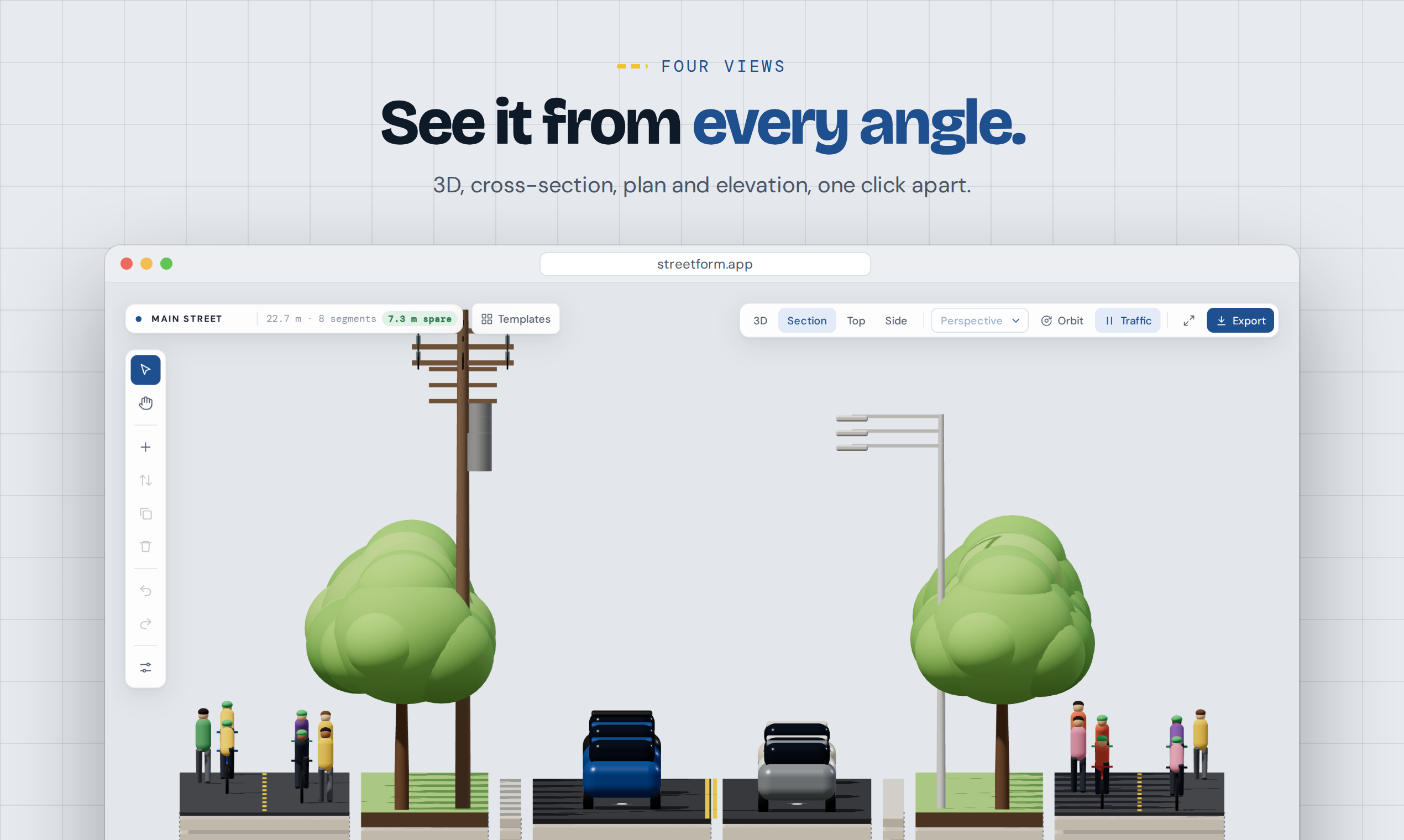
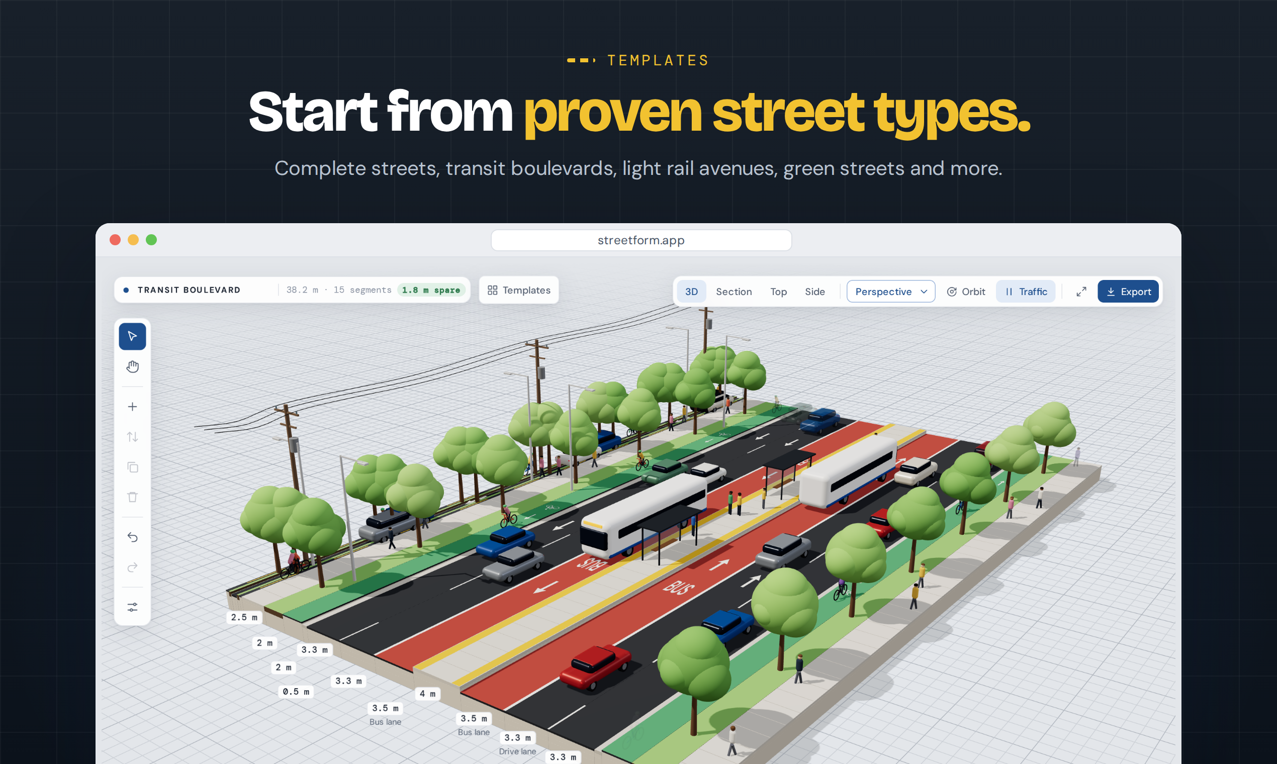
Switch between a 3D view with moving traffic, a section view, a top-down plan and a side elevation. The layers view pulls the pavement structure apart so you can see what sits under each segment.
Export an illustrated cross-section
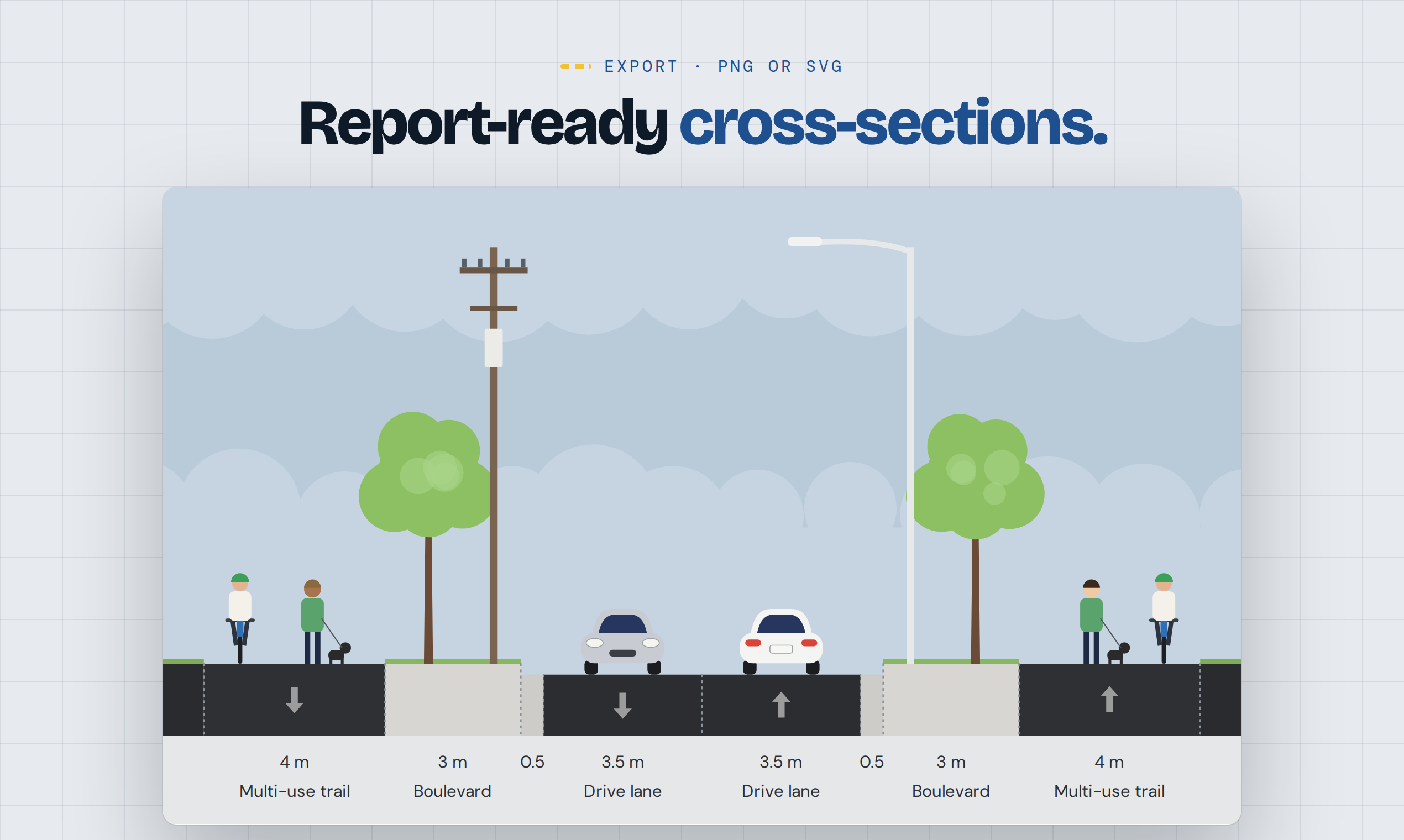
Export the street as a PNG or SVG cross-section with people, cyclists, vehicles, trees, street lights and utility poles drawn in, plus dimensions and labels for every segment. It is ready for reports, presentations and public consultations.
Start from a template
Begin with an arterial with trails, a complete street, a main street, a transit boulevard, a light rail avenue or a green street, then make it your own. Share a design with a link: the whole design travels in the link itself.
Corridors from real streets
With Streetform Corridors, pick a stretch of real street on a map and Streetform builds it in 3D, segment by segment, ready to edit.
Who it is for
Transportation planners and engineers, urban designers, landscape architects, students, and community groups who want to show what a street could look like.